LEARN Blog Post: Whose History Are We Teaching? Changes to Promote Equity and Inclusion in the Elementary Social Sciences Have […]
Read More
1980’s Big Ideas and Concepts Definition Cards
Students: Are some of the words on the 1980s society pages new to you? Do you want to learn more […]
Read More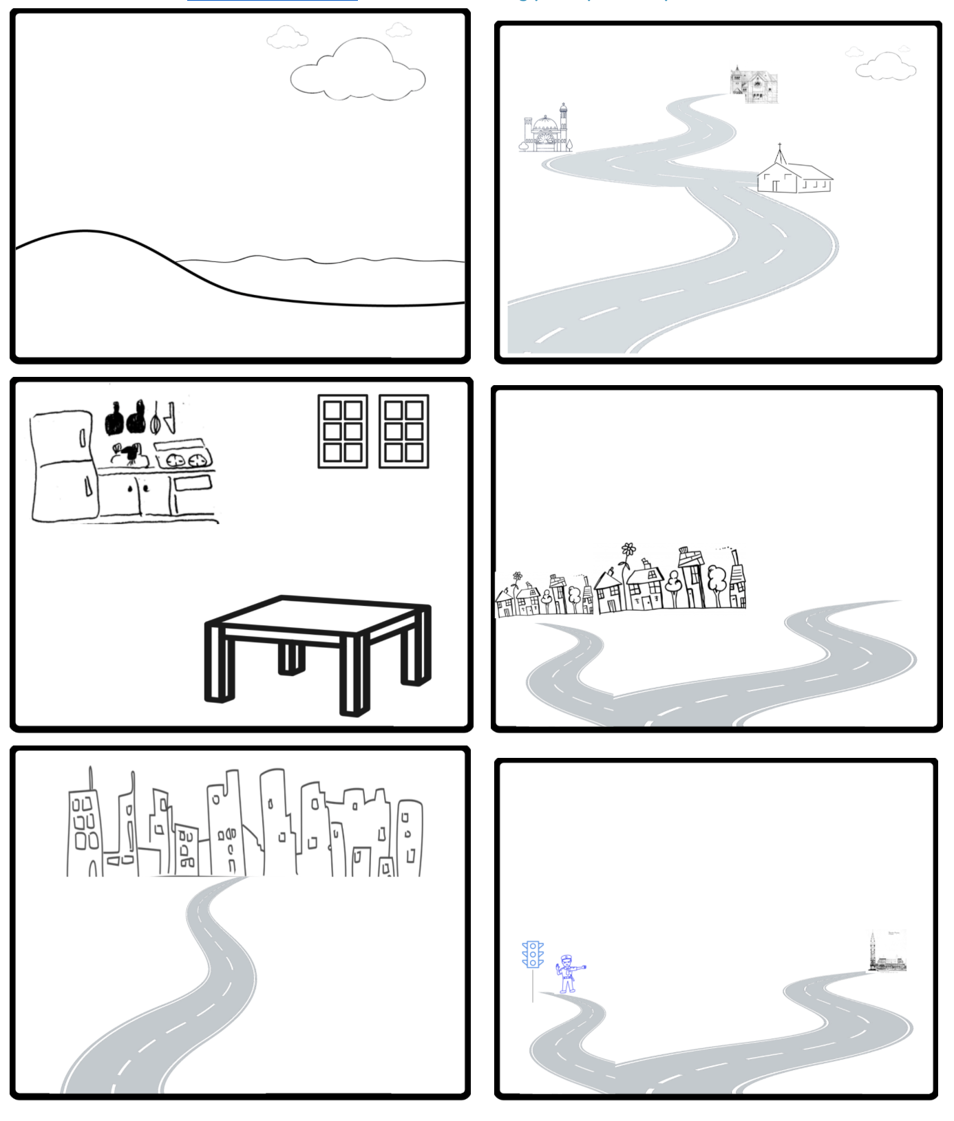
Concepts and Connect the Facts learning strategy
Learning activity using Connect the Facts card game cards! Remember our game strategy here … where teams amass points by identifying the […]
Read More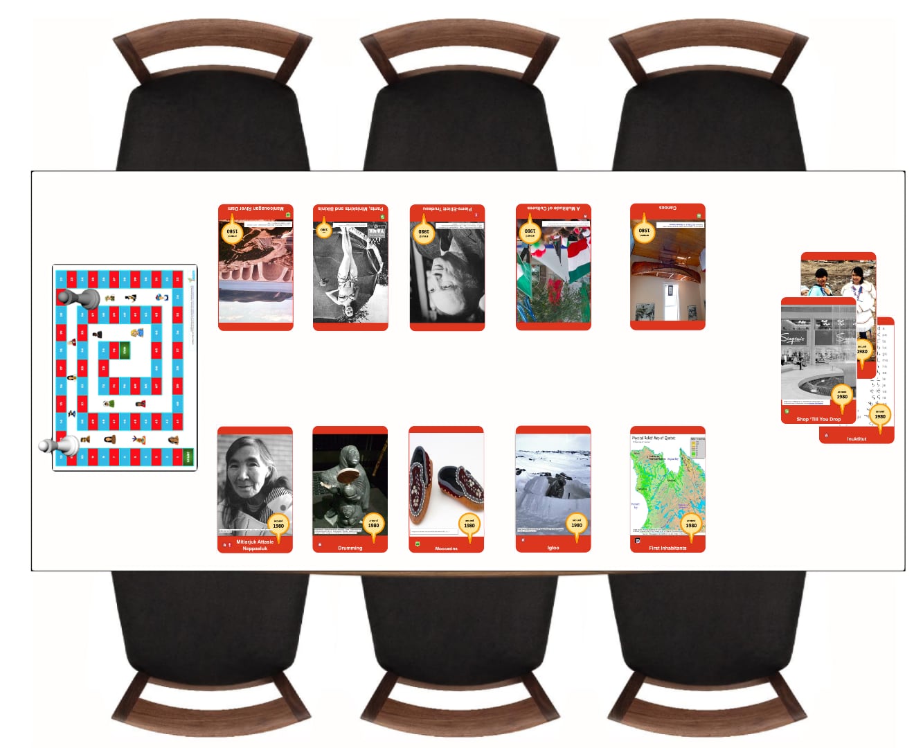
1980 Societies Connect the Facts Card Game
Check out a new version of the Connect the Facts gaming strategy using cards based on site content from the […]
Read MoreIntellectual Operations & I.O. Badge Guides
LEARN more about the Intellectual Operations Browse some examples of the Intellectual Operations in Daily LifeDaily life is the things […]
Read More
Nouvelles versions adaptées pour FLS
Plusieurs nouvelles sections sont disponibles avec des textes en français. Ces versions sont adaptées et parfois bonifiées des textes originaux […]
Read More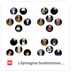
Spot-It Game Cards
Spot it! Card Game Printouts! If you know how to play Spot it! our new card sest could be great […]
Read More
My Life on a Timeline Activity
What will you do today? Students place pictograms in order according to the time of day. Then they describe the […]
Read More
#LEARNHistoryatHome activities with your kids
LEARN @ Home Elementary Social Sciences Help page Our new parent’s help page on the LEARN main site now lists […]
Read More
Cartograf: Montréal en 1820
(Notez que ce scénario est une copie de l’original par le RECITUS) Quelle serait une journée dans la peau d’un homme […]
Read MoreCartograf: La nationalisation de l’électricité
Scénario créé par Sophie Lussier, conseillère pédagogique, LBPSB L’électricité est une, sinon la, ressource première du Québec. Sa nationalisationfait qu’une […]
Read MoreCartograf: Comparer le Québec de 1905 et 1980
(Scénario par M.E. Frenette et A. Farina, de LBPSB) Dans ce scénario les élèves vont comparer le Québec de 1905 […]
Read MoreCartograf: L’Acte de Québec, 1774 (LBPSB)
En 1774, les Anglais ont abandonné leurs intentions d’assimileraction de rendre les membres d’un groupe ou d’une société semblables aux […]
Read More