 Did you know that you can use Google Maps software to explore a territory, identify its features, and better understand how land is used?
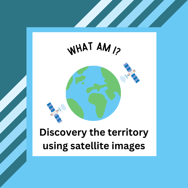
In the student booklet, you will explore eight places using Google Maps software. Your challenge is determining what is being shown and where they are located. All of the images can be related to Quebec society today. When you are done, you can explore how the territory and aspects of a society have changed or remained constant over time.
TEACHERS
This activity was initially produced in French by RÉCITUS. We have translated and adapted it for the Anglophone community. Here is a Teacher’s Guide to accompany this activity.
You can make a copy of these Google documents to adapt them for your class. You could even add different locations to explore other regions and territories and how these places have changed over time. This could be be part of a local history exploration or to explore another society and territory covered in the program, for example, the West Coast, the Prairies, and Inuit Nunangat.